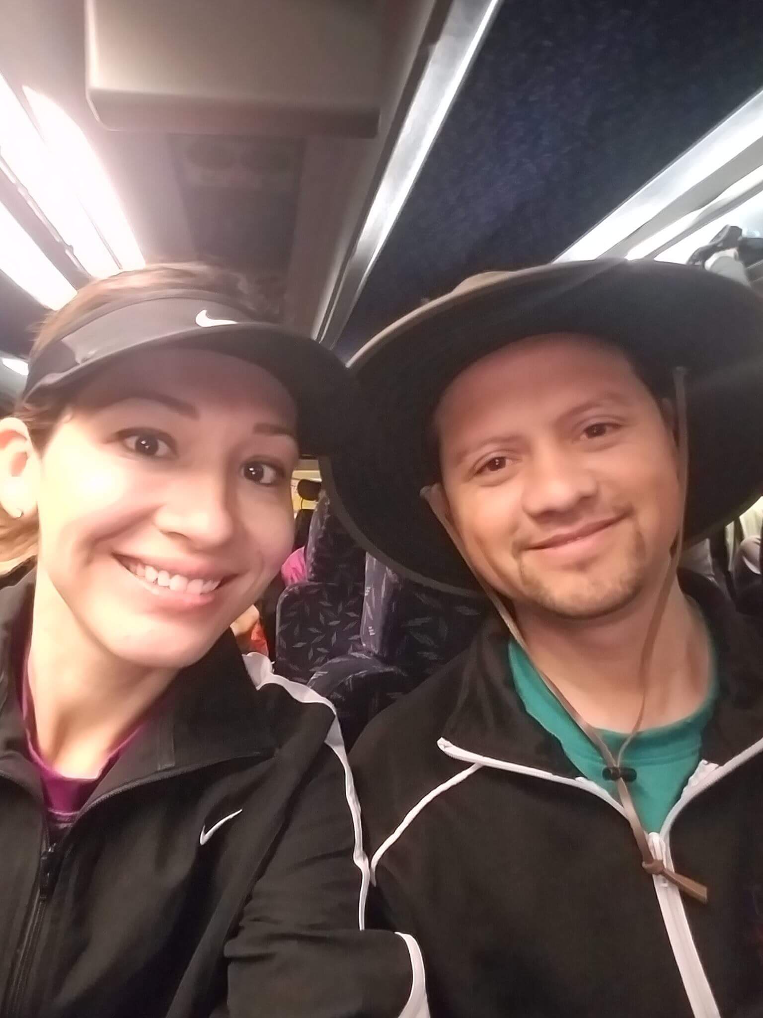
If you missed my recap of Day 1 in which I crossed the Grand Canyon from South Rim to North Rim, you can check it out here.
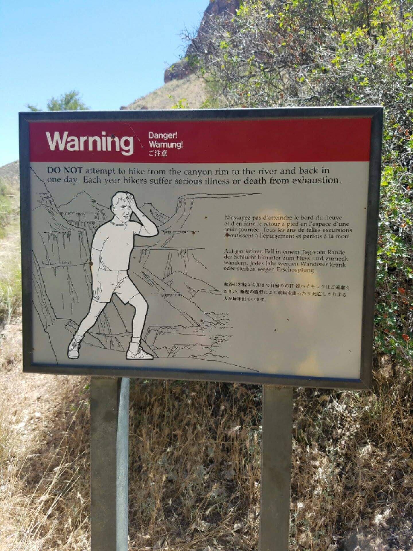
The second day, the plan was to go back down the North Rim but then go back up the South Rim through Bright Angel Trail. I didn’t remember much from the first time doing the second day two years go because I was beat up exhausted, lol! So in a way, there was a lot of newness for me this time, which I liked.
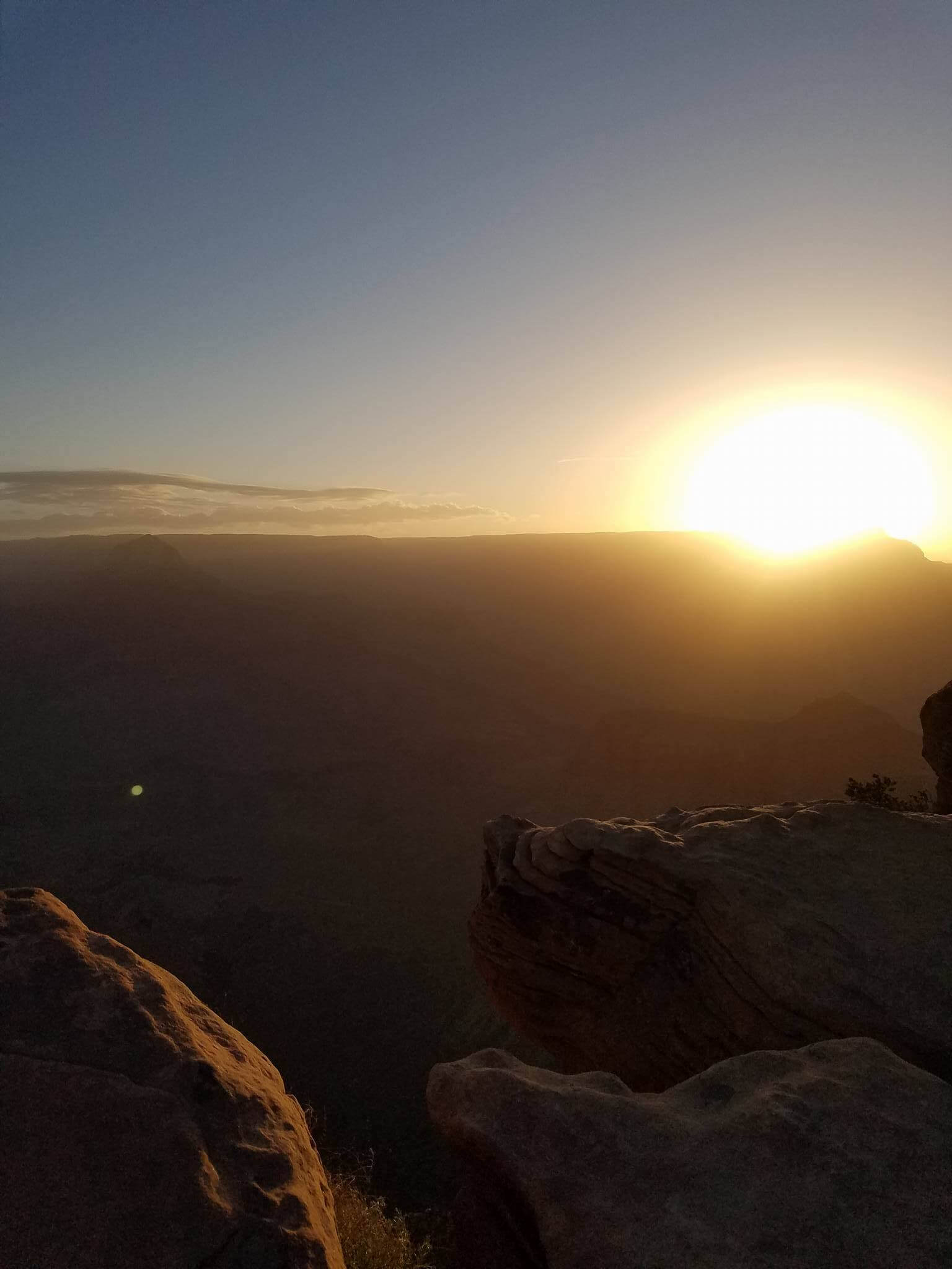
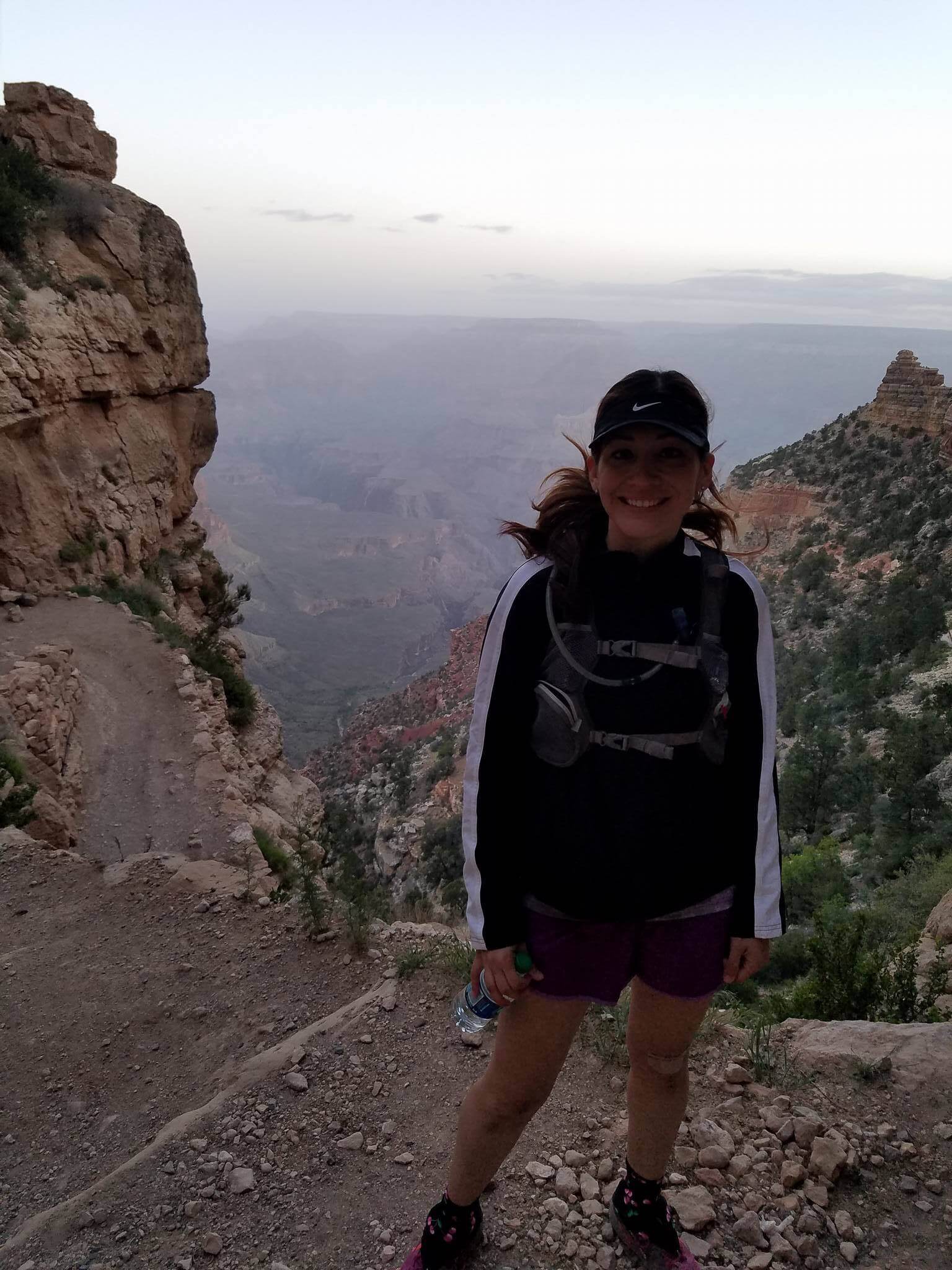
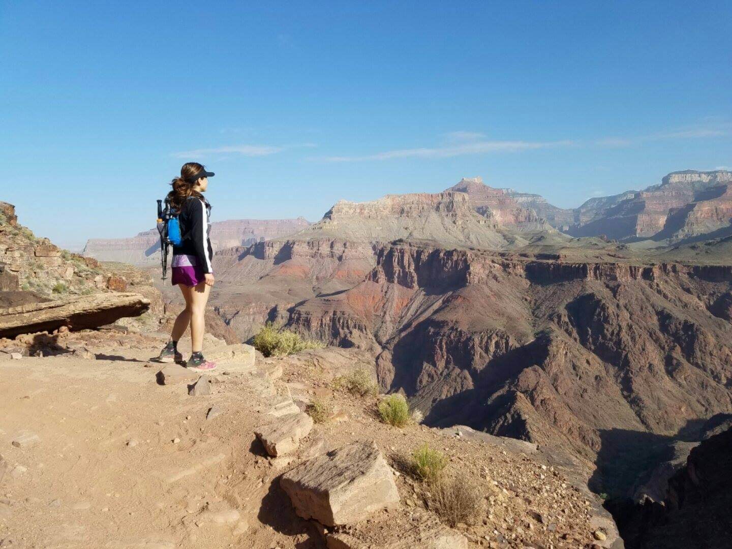
Unlike going down the South Rim, going down the North Rim allows you to actually run if you wanted to. Last time I did this, I hardly ran at all, but this time, I was feeling pretty good and I was with my husband which automatically makes me feel safer and more adventurous. So as soon as our group started, we all bolted and ran down. All the way down. To Phantom Ranch. A little over 13 miles.
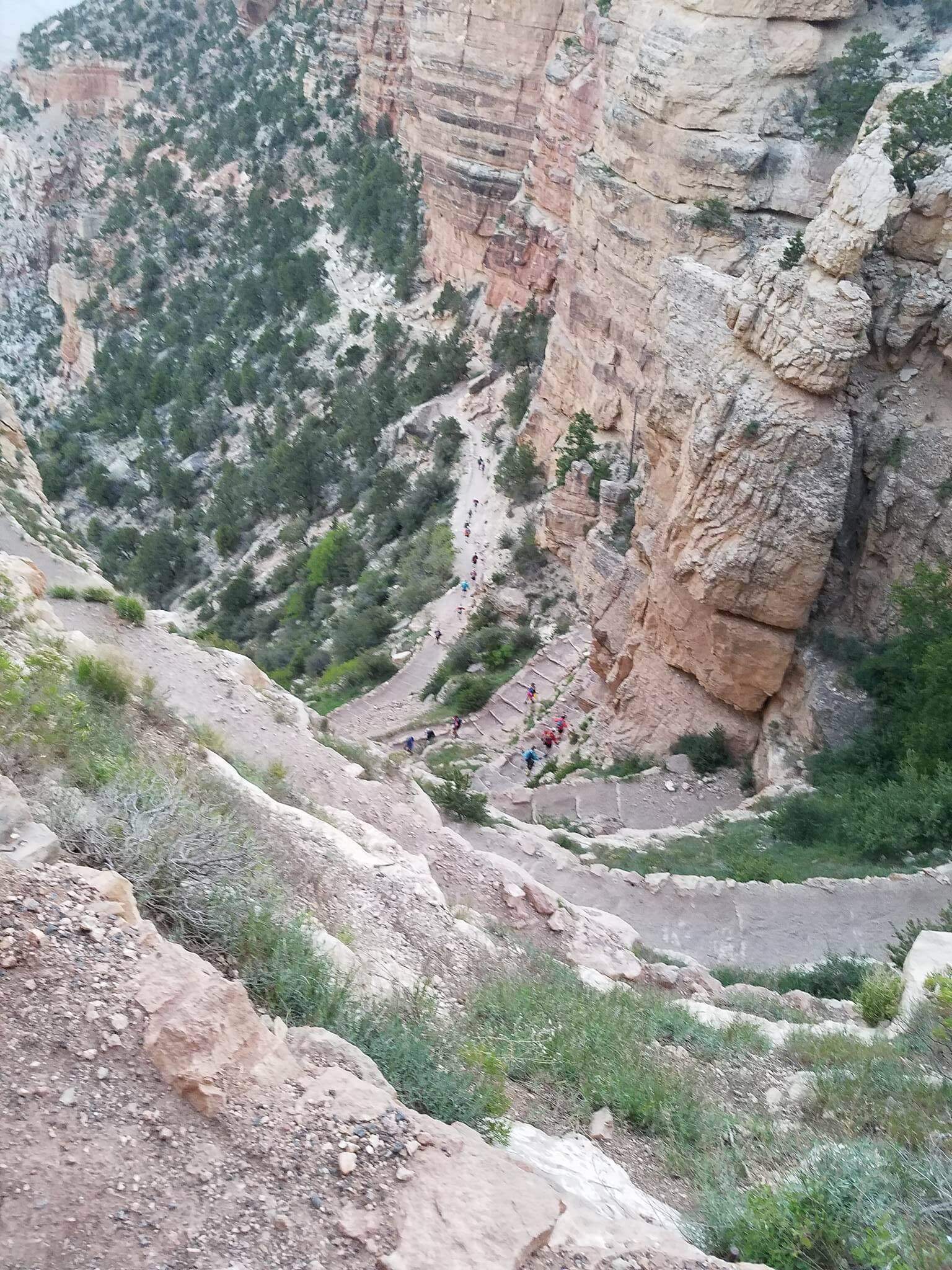
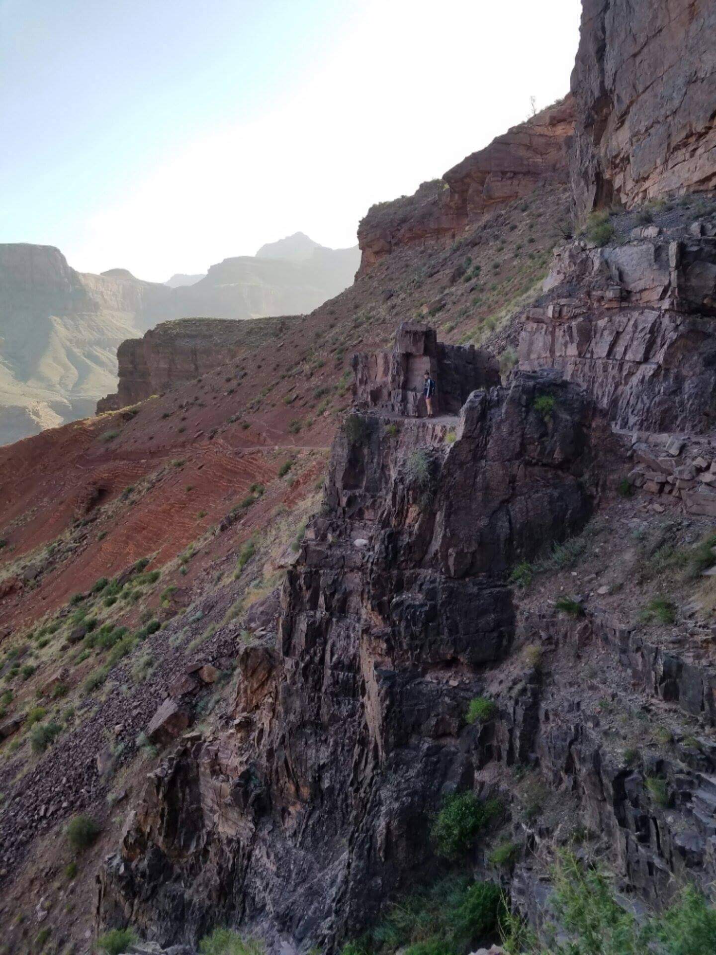
There were some not-so-safe sections where we did slow down…like here

Can you see me? #notafraidofheights
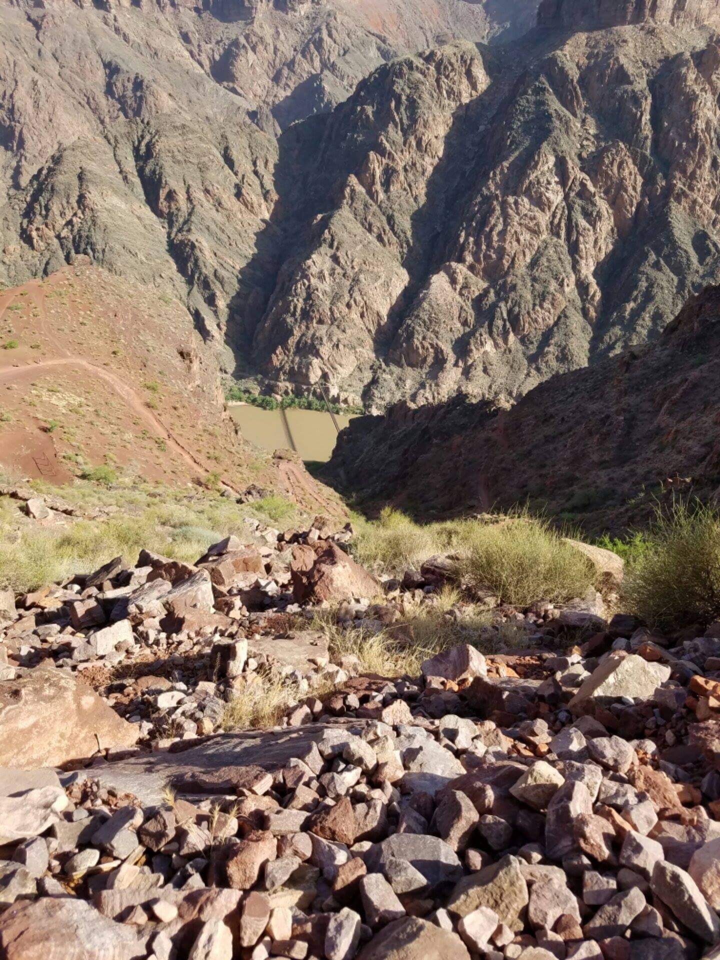
and here

Can you see what’s around that corner? Yeah, me either.
but really, the majority of the way down, we ran. It was just so freaking awesome running through the Grand Canyon. I mean, not many can say that they ran through the Grand Canyon!! It was exhilaratingly amazing. Surreal.

I was definitely sore from the day before but I just had an energy that I can’t describe. An energy that compelled me to keep going and run. I felt so strong and I might’ve not been going very fast, but I felt like a total badass.
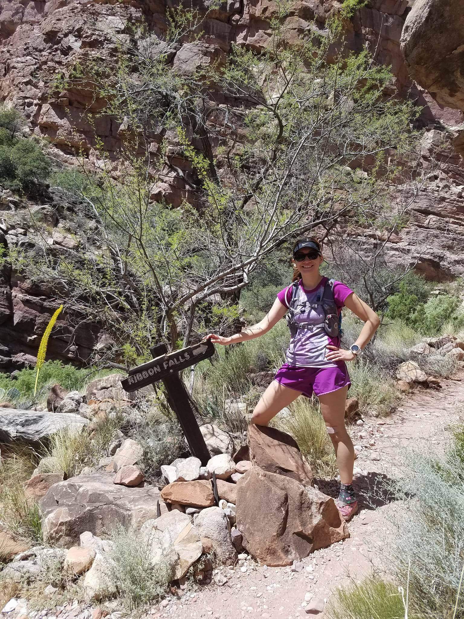
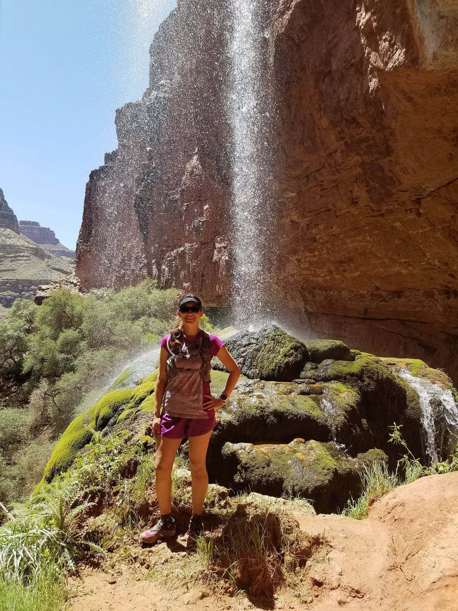
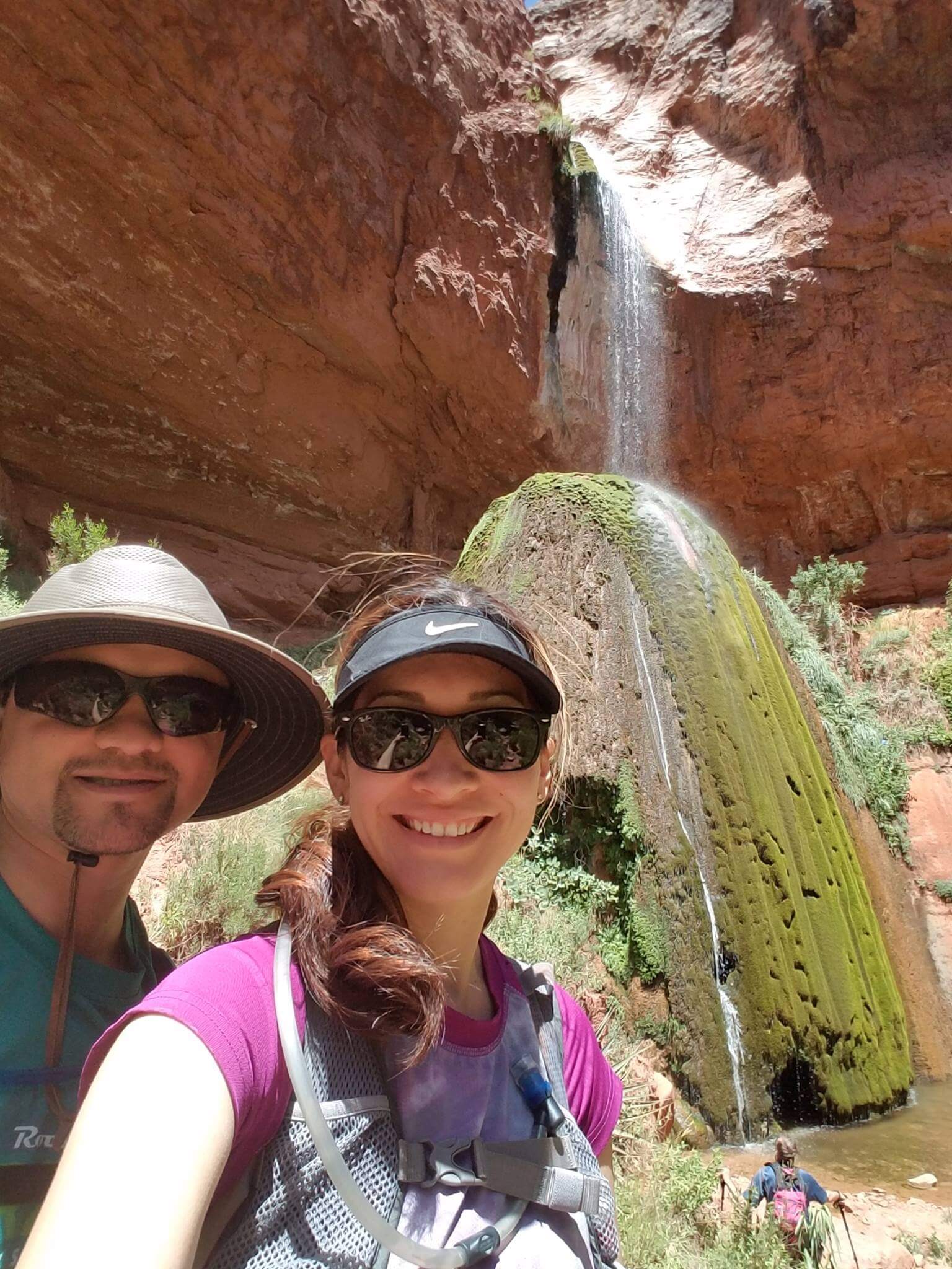
There wasn’t much photo-taking or eating on the way down. Hardly at all, actually. I made sure to hydrate and we made one pit stop at Manzanita where I had to use the restroom. There, I munched on a snack, but we pretty much went the whole way without a whole lot to eat. We skipped the last stop, Cottonwood, and went the 7+ miles stretch all the way to Phantom Ranch.

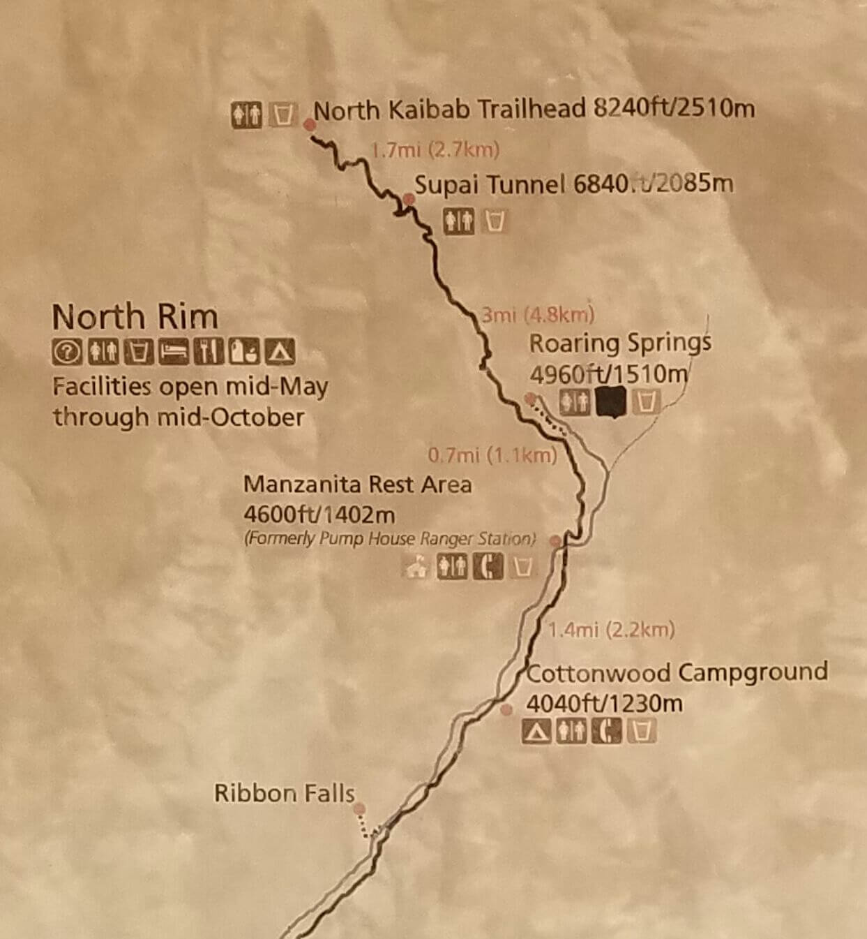
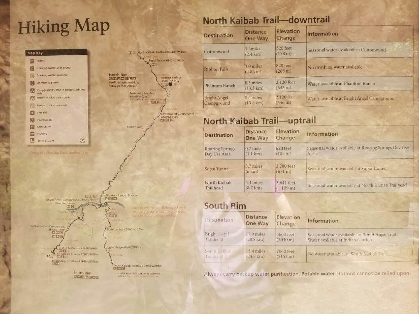
You can see our route coming down from the North Rim to Phantom Ranch in this map
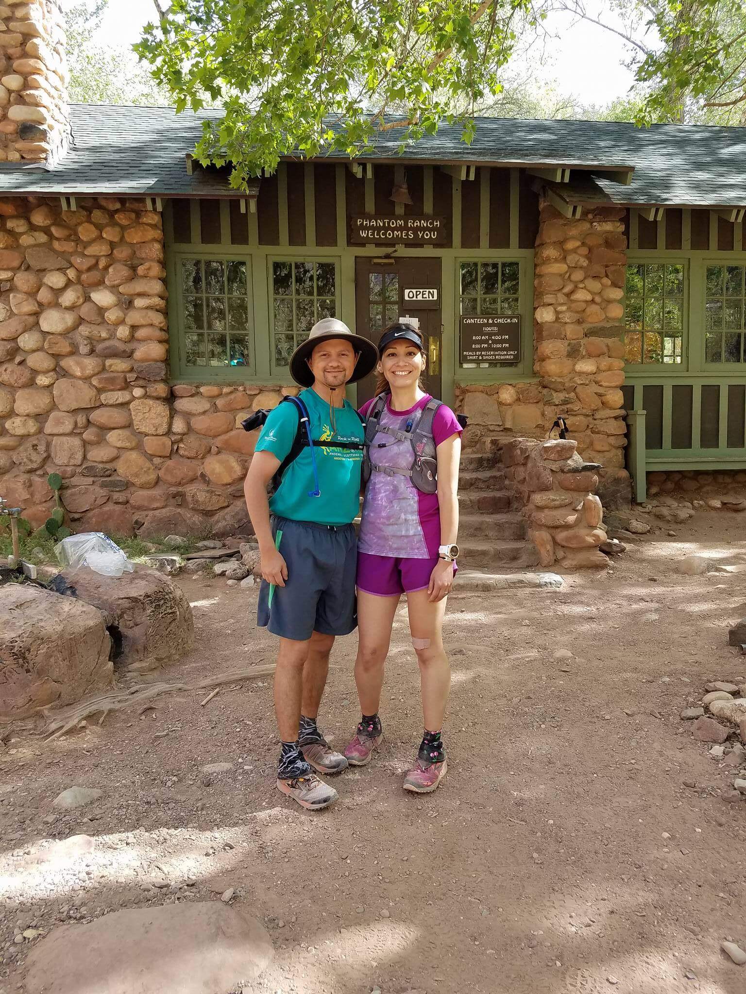
We were anxious to get to Phantom Ranch as we knew that once we got there, we’d eat and then begin our climb out. But when we got there, we realized we had to go through security.

Shhh!!! There’s a deer over there!
There was a beautiful deer blocking the trail to Phantom Ranch!! We waited a bit and then the deer went running off.
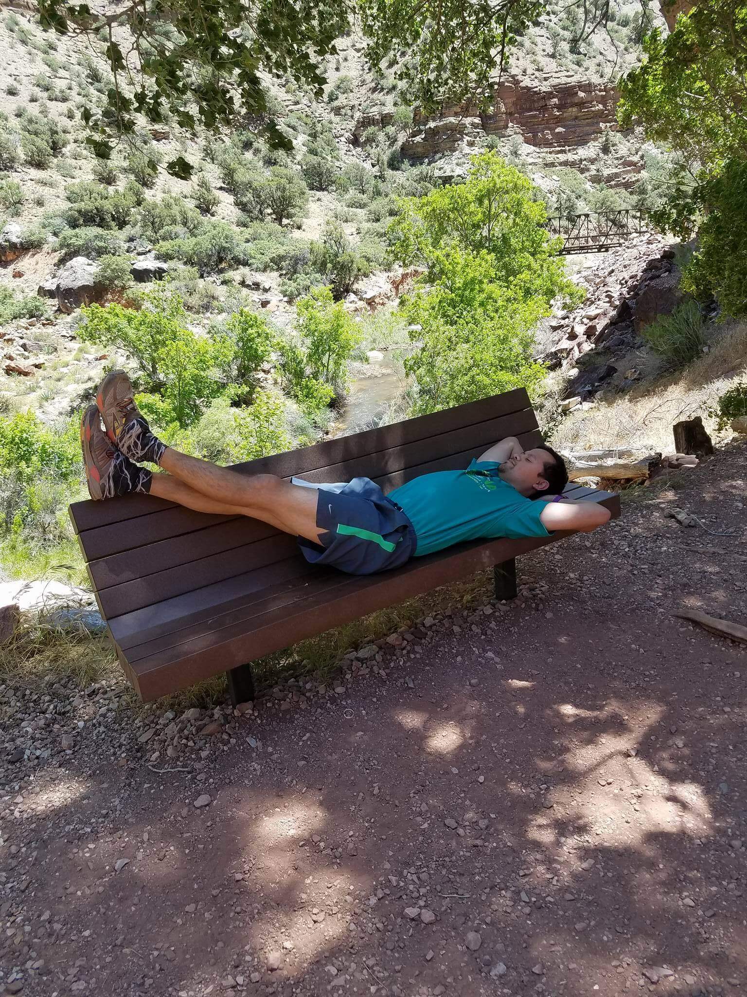
We hung out for about 20 minutes or so, not long all, eating some Beef Jerky and drinking some lemonade. We refilled our packs, and headed out! I thought I’d want more rest but really, I was ready to go. I knew the heat awaited us and the later it got, the worse it would be.
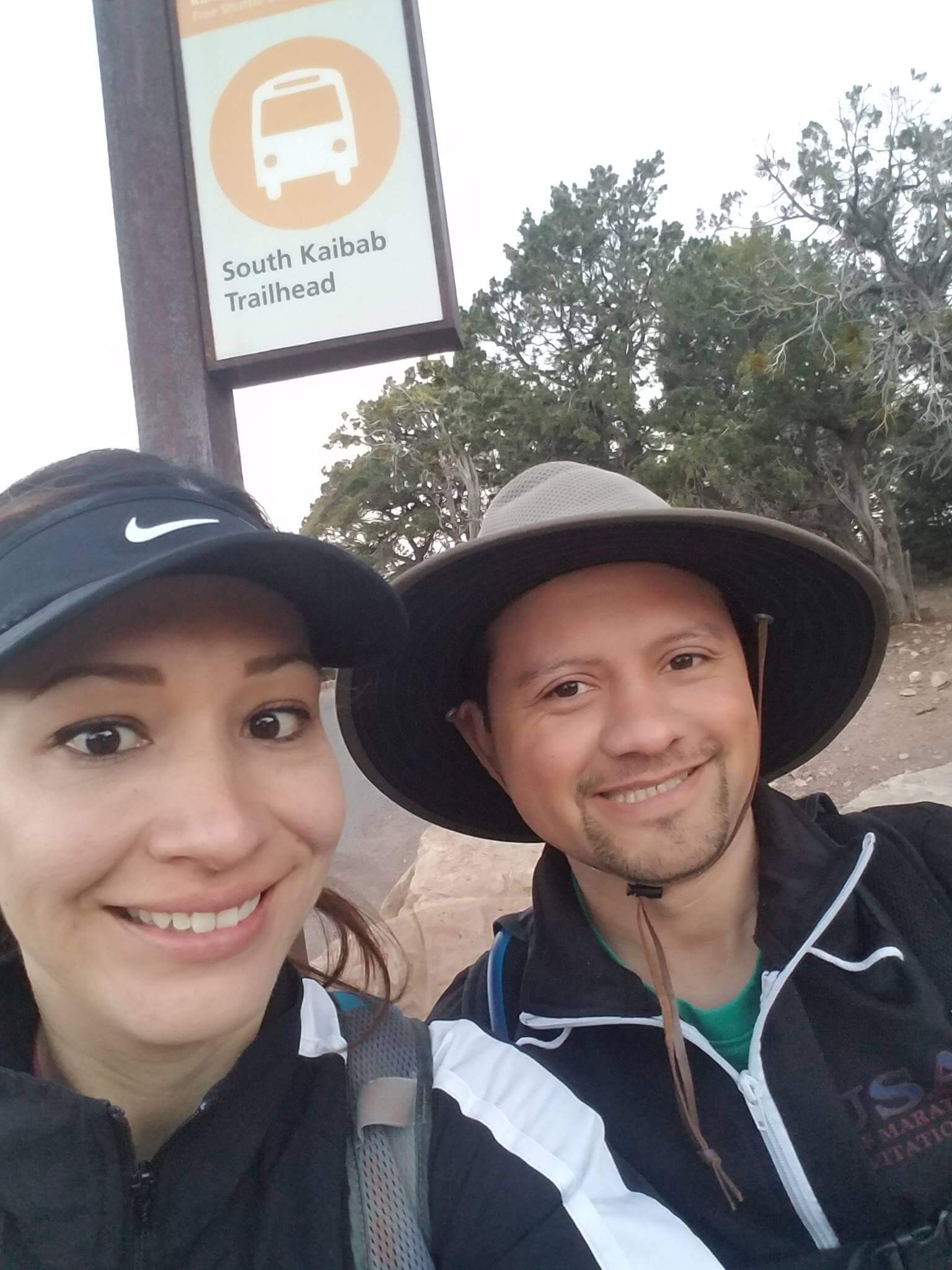
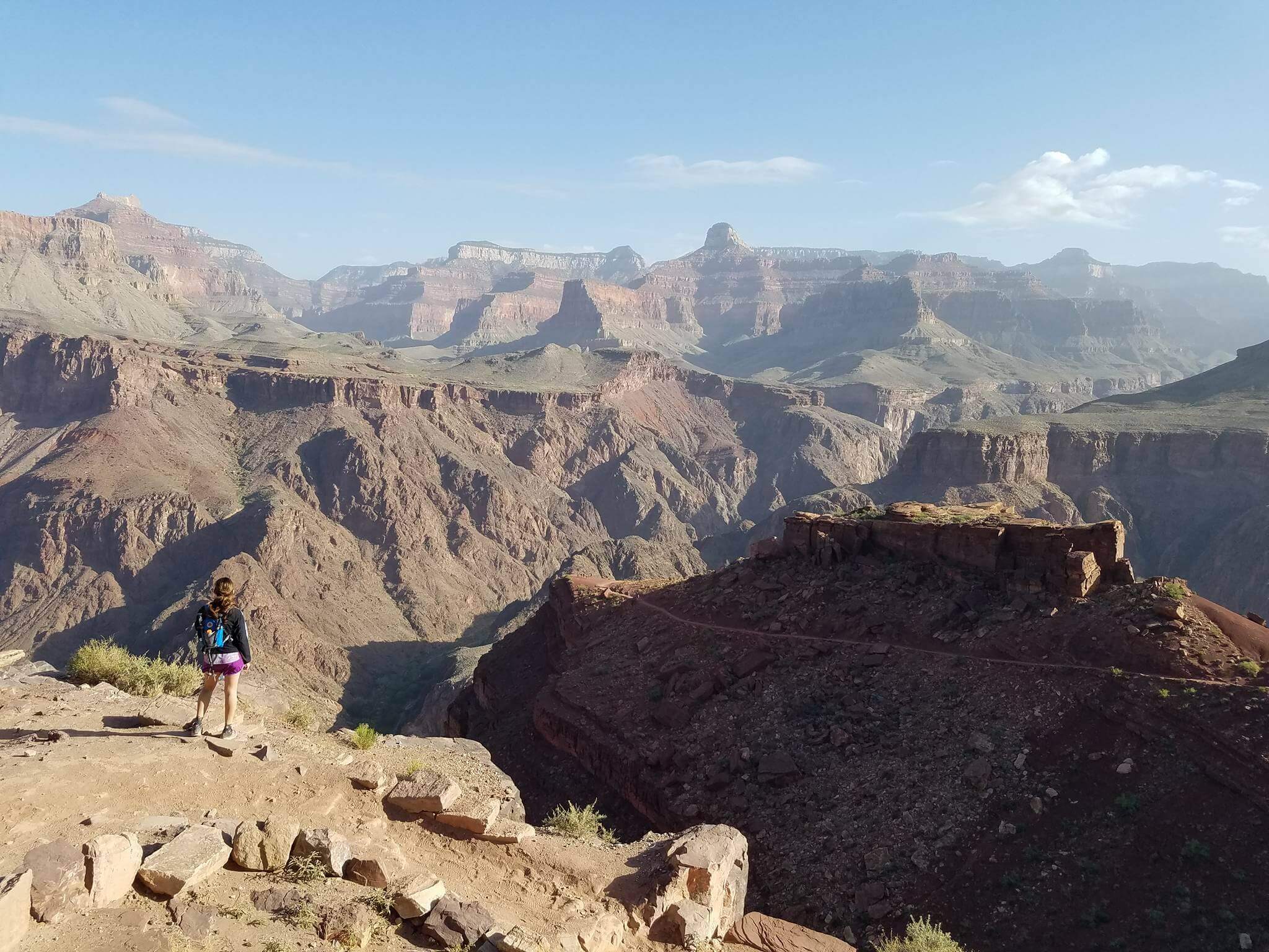
From Phantom Ranch, you can go back up through the South Rim Trail (where we started yesterday) or you can go back up through Bright Angel Trail, which is what we had planned to do. I remembered from my last crossing, that we would be exposed to the sun for most of the climb up.
People ask me if going up the North Rim is harder than going up the South Rim (through either trail) and honestly, each is its own beast. Going up the North Rim for me is difficult because you’re talking about going straight up. You’re covered though, as there are a lot of trees lining the way but it doesn’t make that climb any easier.
The South Rim/Bright Angel Trail is difficult because of the sun. So not only are you going up, up, up, you’re doing it with the heat on your back. If I had to choose though, I’d say going up the first day (South and up through North) is harder.
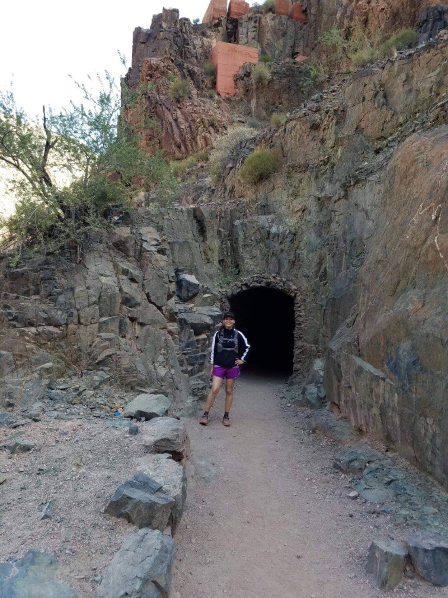
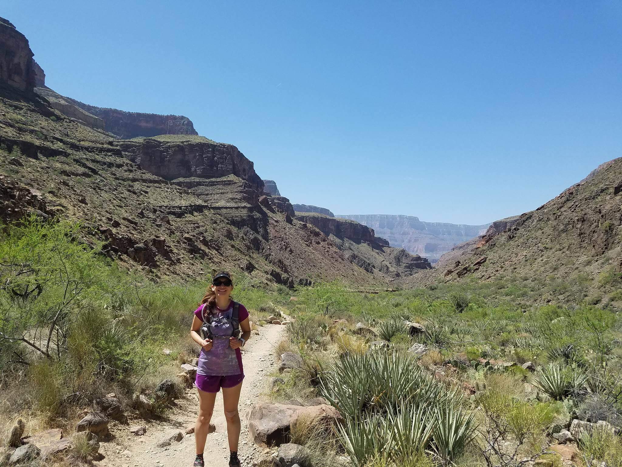
Anyway, we hit Bright Angel Trail and were on our way.

Go up this way! 🙂

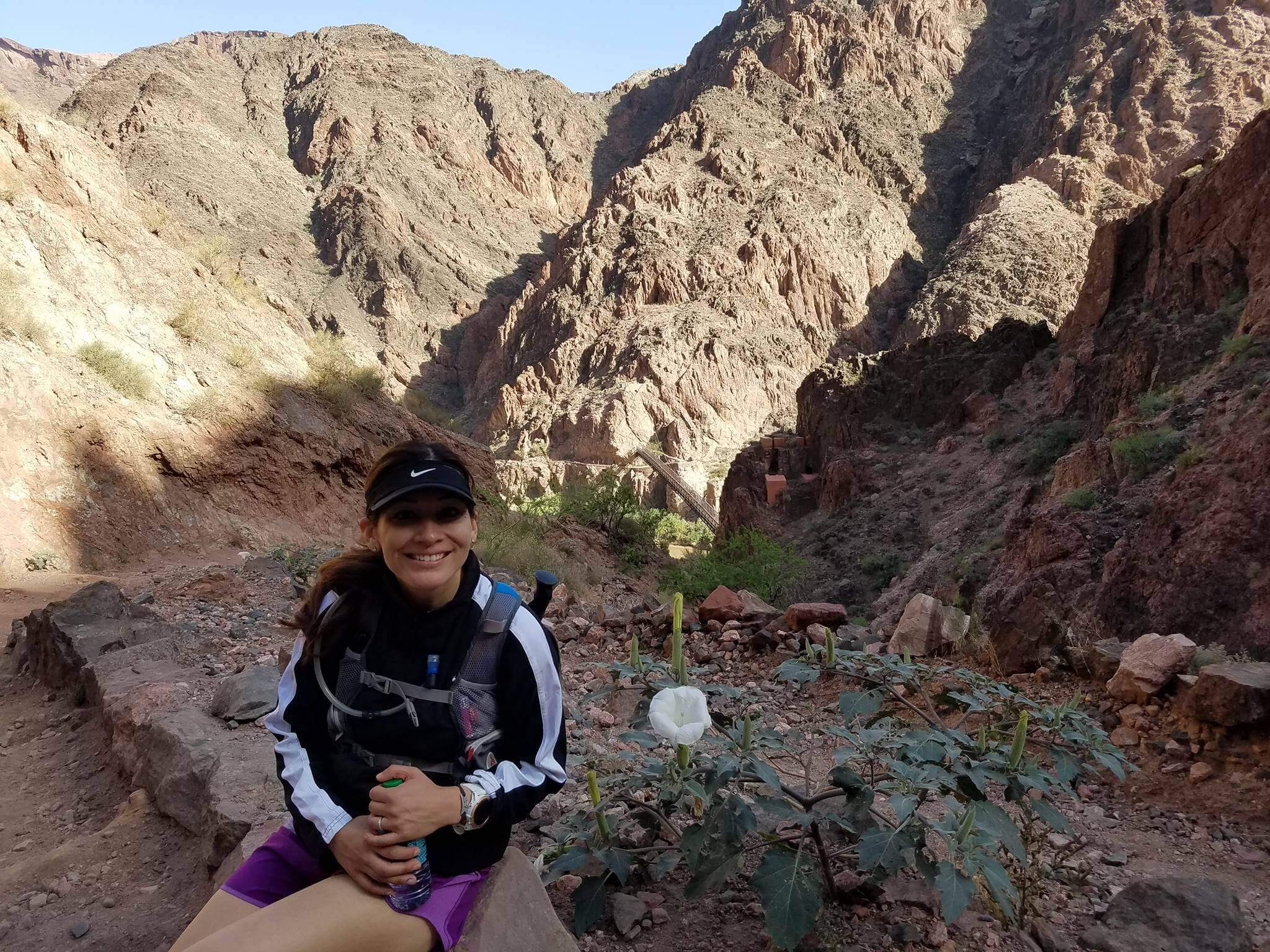
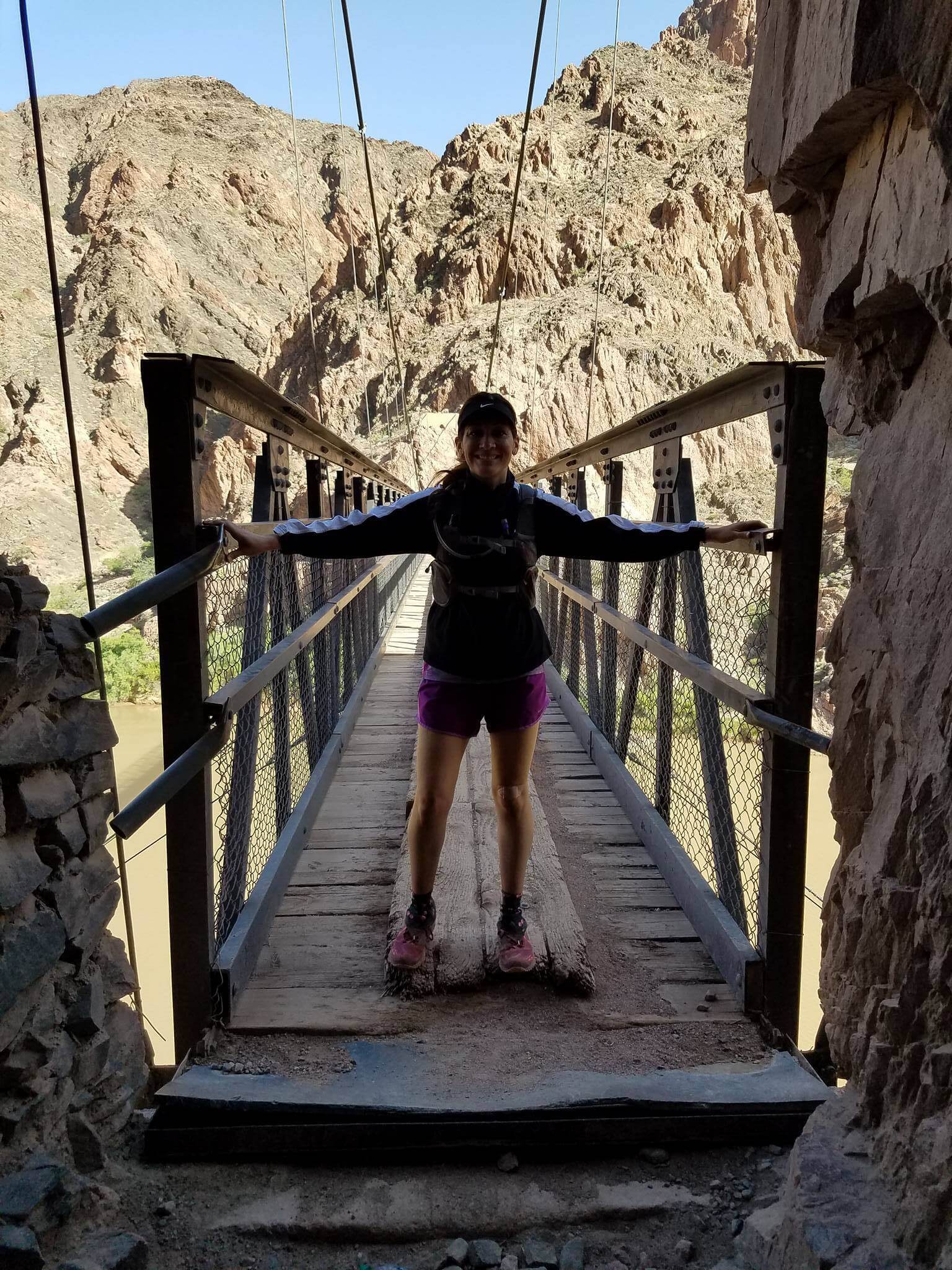
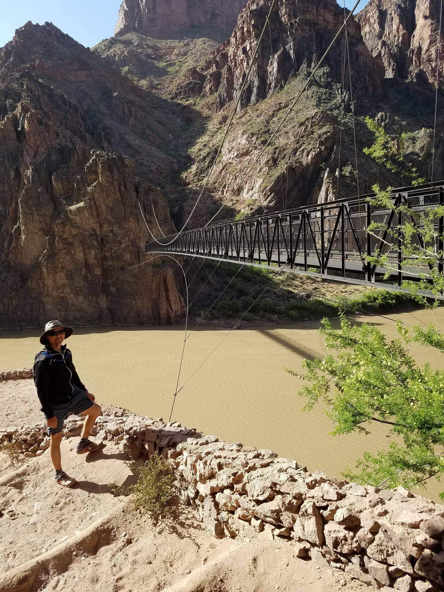
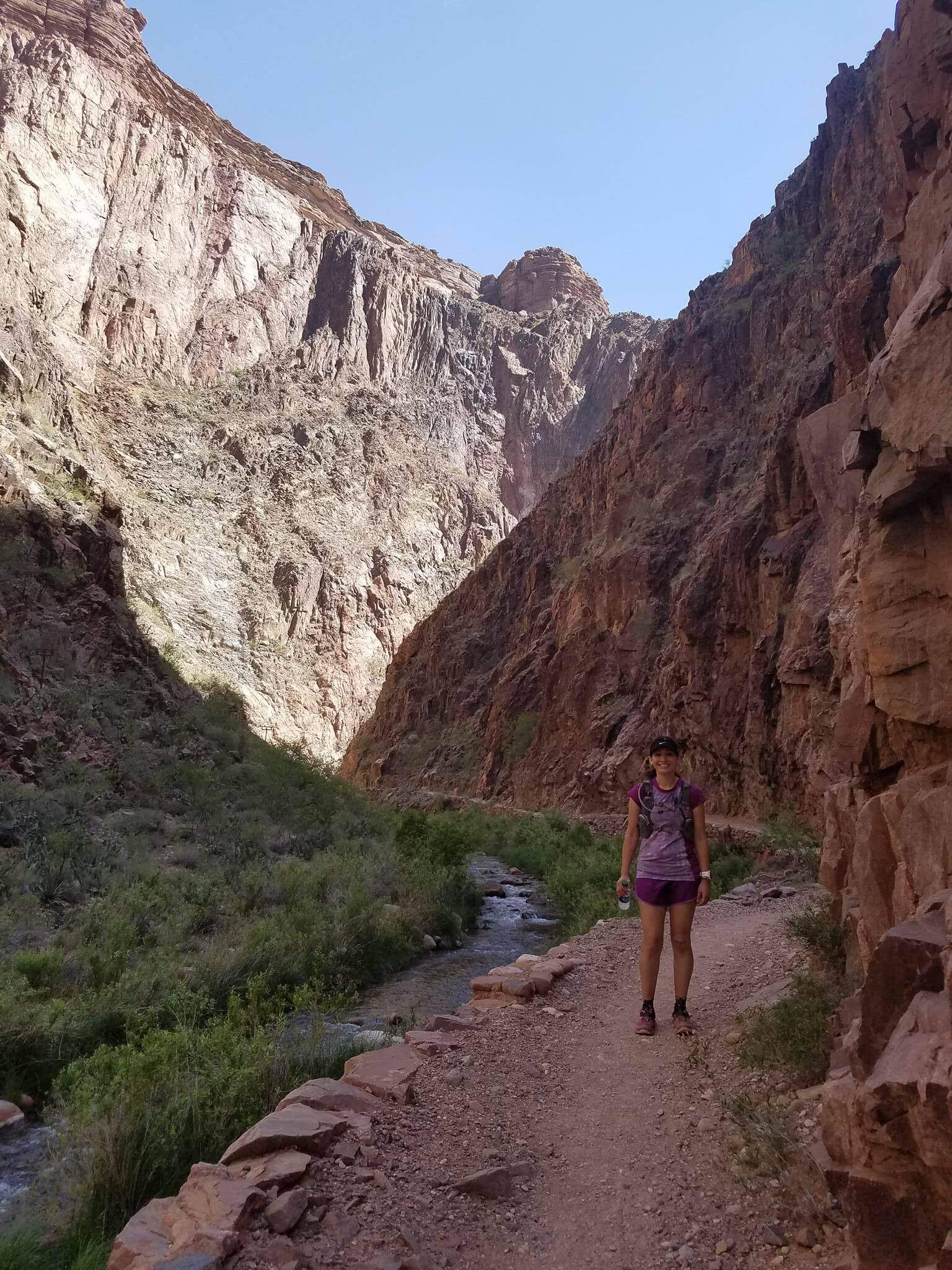
Crossing the Colorado
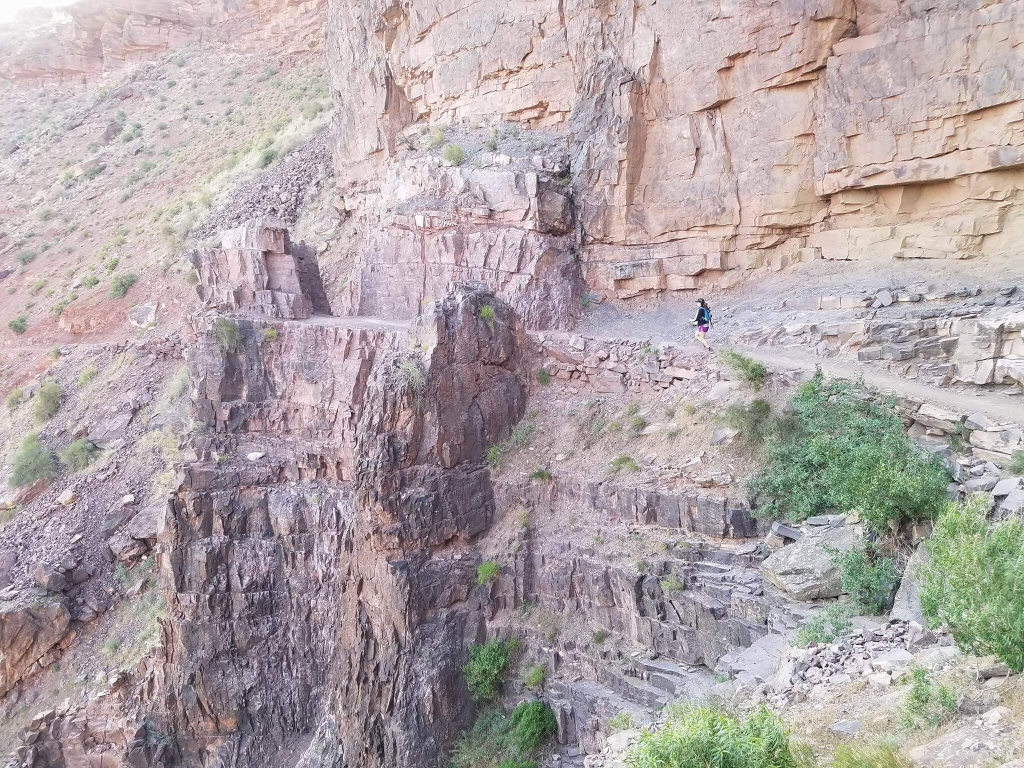
Like I mentioned earlier, I had forgotten most of the second day since the last time I crossed, and one of the things I completely didn’t remember was the soft sand that made the up climb even harder.

What is this sand you speak of?

It was so weird to see this soft beach sand at the bottom of the Grand Canyon but it made sense since the trail was right with the water. The trail wasn’t sandy the entire way up but you’d see it in parts along the way, even allll the way up.
We took a pit stop along the way to get some of the sand out of our shoes and eat a snack. Then we noticed that the upness we had been doing started to go back down and we met the water again. This was so disheartening because we really thought we beginning our ascent and now it felt like we were starting over.
But onward we went. I kept on telling my husband that Devil’s Corkscrew awaited us–some not so very nice switchbacks–and I waited for them but really, everything started to look the same to me that when we reach a flat landing where we could look down, we had already passed it!

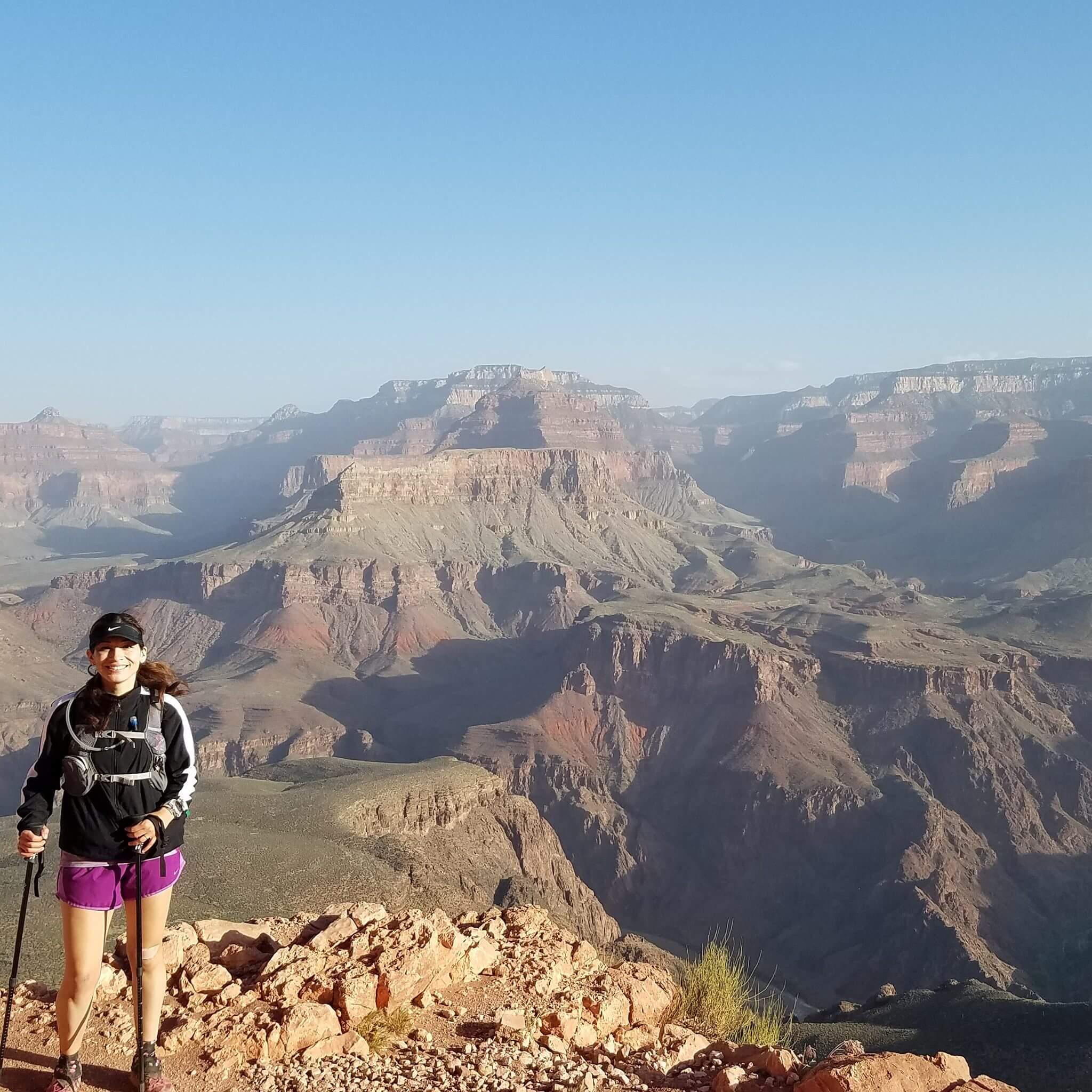
I was so tired. The heat was beating on me and I felt like I couldn’t drink enough water. I had been taking salt tabs the entire way and I had some sugar candy so I didn’t feel malnutritioned; it was just the accumulation of two tough days of climbing.
Very little pictures were taken going up. It was like last time where I really just wanted a Coke. I was ready to be at the top.
We reached Indian Gardens, finally, which was our last big stop. We filled up our water packs one last time and took a quick look at the map–4.8 miles to go. Hours.
I was losing steam and beginning to feel bummed, but then my husband would say something funny and I would remember how much I loved having him there.
When you get closer to the top, you start to see a lot of tourists who come down a few miles. It got to be very crowded and I wanted a sign that said, “I’ve been climbing for 20 miles!!! Get out of my way!!!” Some groups would take the entire trail and not pull aside for uphill climbers.
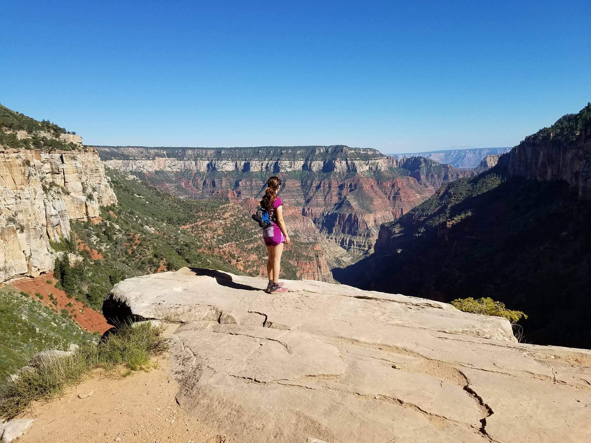
We made a turn and then I could finally see the top top and it was a glorious sight. It was a ways away, but I could see it.

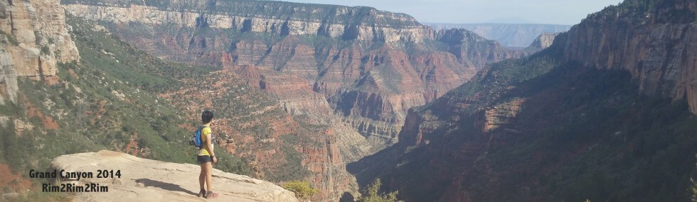
Looking back at what we crossed and kinda sorta done with pictures, lol
I was renewed with energy at having seen the finish line and I picked up my pace. Finally, after many many miles–over 45 in two days–we were done!

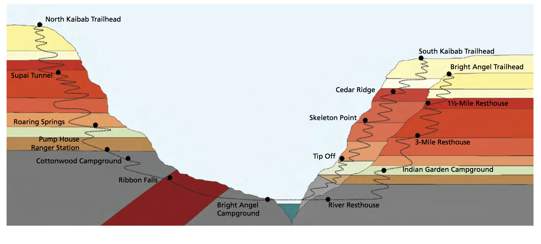
The smile that is the elevation map of a Grand Canyon Crossing 🙂
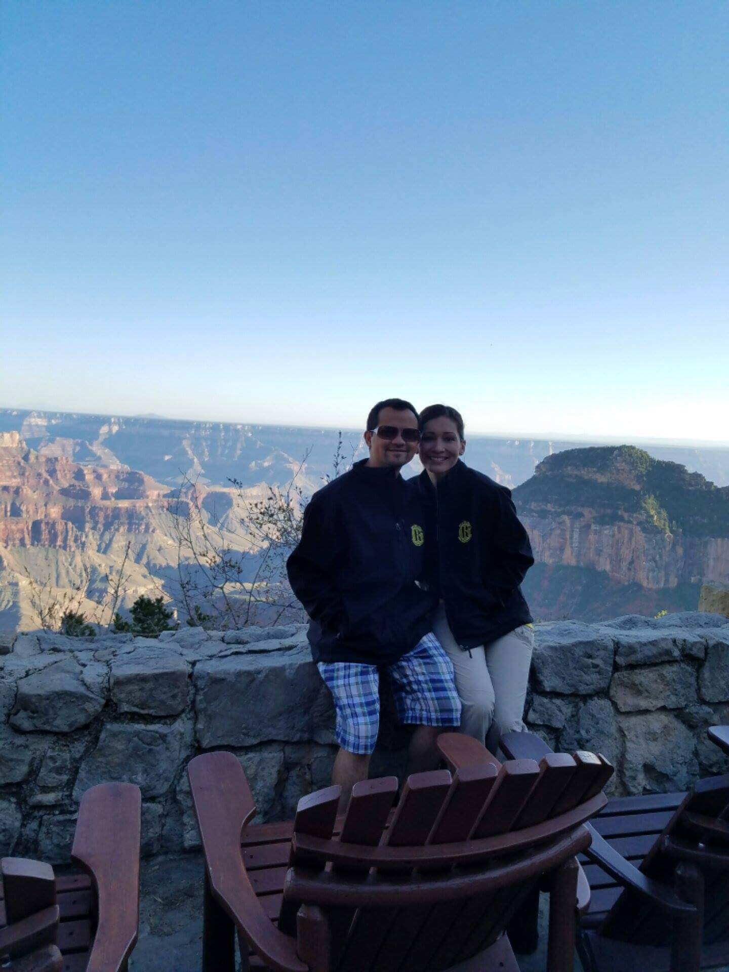
I sat down on a bench and became overwhelmed with emotion. I held my husband’s hand as I let the tears flow. I was so happy. So happy to have shared this amazing experience with him. This would be something we both could have together, forever.
A woman nearby asked if everything was okay and my husband told her we had just finished a double crossing in two days. She begin applauding me and then told the people she was with who begin applauding as well. A mini crowd of people began applauding, and I smiled a “thank you” through my tears. It was such a special moment.
Crossing the Grand Canyon is something life-changing. It really is. You test your body and mind and when you make it to other side, you really feel like you can do anything. It’s hard of course, and yes, the climbs are difficult, the heat makes it worse; there are snakes, insects, animals, along the way–but you push through all of that. You find something within yourself to make it happen. I know that my husband gave me a lot strength, but he didn’t cross for me. I did. Like so many hard things in life, you just do it.
You just do it.
Thank you all so much for following my crazy adventures. As I’ve said many times, I’m so grateful to have this little corner of the web world to document my journeys. If you have any questions about crossing the Grand Canyon, feel free to shoot me an e-mail and I’ll help as much as I can. Don’t think this is something you can’t do. ❤ , helly